Former drydocks, South Shields
Introduction
The photograph on this page of Former drydocks, South Shields by George Robinson as part of the Geograph project.
The Geograph project started in 2005 with the aim of publishing, organising and preserving representative images for every square kilometre of Great Britain, Ireland and the Isle of Man.

There are currently over 7.5m images from over 14,400 individuals and you can help contribute to the project by visiting https://www.geograph.org.uk
Former drydocks, South Shields
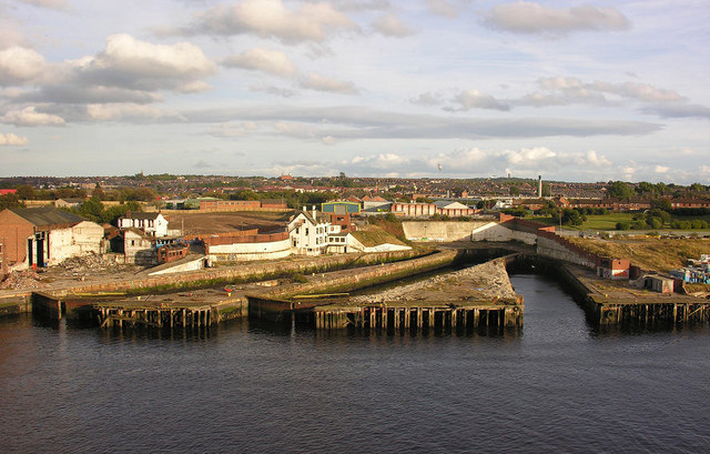
Image: © George Robinson Taken: 21 Sep 2007
Abandoned drydocks litter the banks of the Tyne, this group at South Shields were once part of the Middle Docks or Tyne Engineering complex.
Images are licensed for reuse under creativecommons.org/licenses/by-sa/2.0
Image Location
Latitude
54.988865
Longitude
-1.447364