The A686, Penrith
Introduction
The photograph on this page of The A686, Penrith by Andrew Smith as part of the Geograph project.
The Geograph project started in 2005 with the aim of publishing, organising and preserving representative images for every square kilometre of Great Britain, Ireland and the Isle of Man.

There are currently over 7.5m images from over 14,400 individuals and you can help contribute to the project by visiting https://www.geograph.org.uk
The A686, Penrith
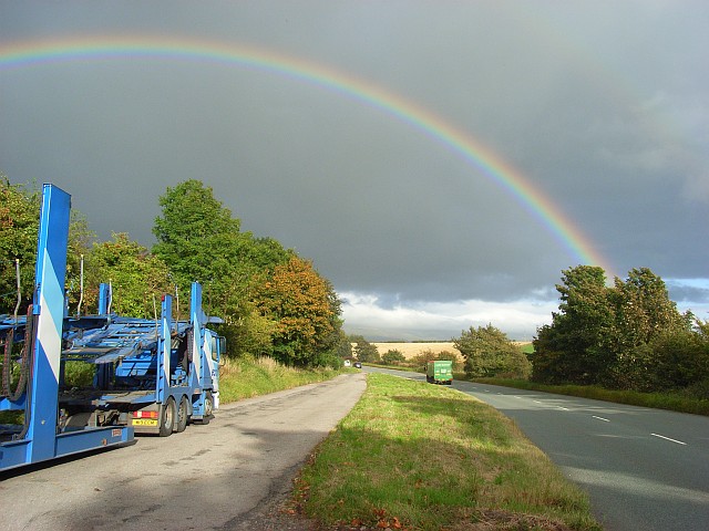
Image: © Andrew Smith Taken: 27 Sep 2007
Having just left Carleton village at the start of the enjoyable drive to Alston via Hartside.
Images are licensed for reuse under creativecommons.org/licenses/by-sa/2.0
Image Location
Latitude
54.662027
Longitude
-2.722376