Ounsdale School Field
Introduction
The photograph on this page of Ounsdale School Field by Gordon Griffiths as part of the Geograph project.
The Geograph project started in 2005 with the aim of publishing, organising and preserving representative images for every square kilometre of Great Britain, Ireland and the Isle of Man.

There are currently over 7.5m images from over 14,400 individuals and you can help contribute to the project by visiting https://www.geograph.org.uk
Ounsdale School Field
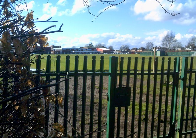
Image: © Gordon Griffiths Taken: 15 Mar 2018
The view from the South Staffordshire Railway Walk near the bridge over Planks Lane.
Images are licensed for reuse under creativecommons.org/licenses/by-sa/2.0
Image Location
Latitude
52.534975
Longitude
-2.193525