Palmerston Way, Fairfield Park
Introduction
The photograph on this page of Palmerston Way, Fairfield Park by Humphrey Bolton as part of the Geograph project.
The Geograph project started in 2005 with the aim of publishing, organising and preserving representative images for every square kilometre of Great Britain, Ireland and the Isle of Man.

There are currently over 7.5m images from over 14,400 individuals and you can help contribute to the project by visiting https://www.geograph.org.uk
Palmerston Way, Fairfield Park
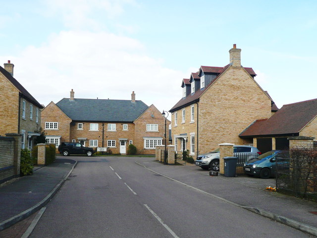
Image: © Humphrey Bolton Taken: 20 Mar 2018
This is one of the cul-de-sac roads on this large housing estate, which has a school and a Tesco Express shop. A new Fairfield Civil Parish has been created, including this estate, the Fairfield Hall apartments and a new estate being constructed on the site of the former Pig Development Unit.
Images are licensed for reuse under creativecommons.org/licenses/by-sa/2.0
Image Location
Latitude
51.999471
Longitude
-0.245859