Allotments on north bank of Hell's Ditch
Introduction
The photograph on this page of Allotments on north bank of Hell's Ditch by Hugh Craddock as part of the Geograph project.
The Geograph project started in 2005 with the aim of publishing, organising and preserving representative images for every square kilometre of Great Britain, Ireland and the Isle of Man.

There are currently over 7.5m images from over 14,400 individuals and you can help contribute to the project by visiting https://www.geograph.org.uk
Allotments on north bank of Hell's Ditch
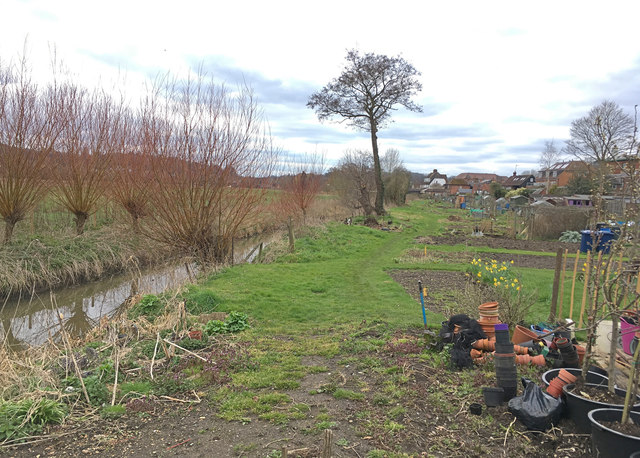
Image: © Hugh Craddock Taken: 1 Apr 2018
Allotments occupy the strip of land between Hell's Ditch and the buildings along Meadrow. The allotments are part of the Lammas Lands and registered as common land.
Images are licensed for reuse under creativecommons.org/licenses/by-sa/2.0
Image Location
Latitude
51.192323
Longitude
-0.599257