Gravel Hill
Introduction
The photograph on this page of Gravel Hill by Ian Capper as part of the Geograph project.
The Geograph project started in 2005 with the aim of publishing, organising and preserving representative images for every square kilometre of Great Britain, Ireland and the Isle of Man.

There are currently over 7.5m images from over 14,400 individuals and you can help contribute to the project by visiting https://www.geograph.org.uk
Gravel Hill
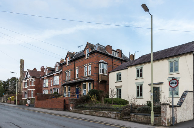
Image: © Ian Capper Taken: 16 Feb 2018
Victorian housing in Gravel Hill, with no 52 nearest the camera. In the left background is St John's Church.
Images are licensed for reuse under creativecommons.org/licenses/by-sa/2.0
Image Location
Latitude
52.371582
Longitude
-2.713284