A338, Winterbourne Dauntsey
Introduction
The photograph on this page of A338, Winterbourne Dauntsey by Robin Webster as part of the Geograph project.
The Geograph project started in 2005 with the aim of publishing, organising and preserving representative images for every square kilometre of Great Britain, Ireland and the Isle of Man.

There are currently over 7.5m images from over 14,400 individuals and you can help contribute to the project by visiting https://www.geograph.org.uk
A338, Winterbourne Dauntsey
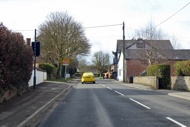
Image: © Robin Webster Taken: 1 Apr 2018
Heading towards Salisbury, with the Winterbourne Arms on the right.
Images are licensed for reuse under creativecommons.org/licenses/by-sa/2.0
Image Location
Latitude
51.111418
Longitude
-1.750533