Following a horse and cart to Wimblington
Introduction
The photograph on this page of Following a horse and cart to Wimblington by HelenK as part of the Geograph project.
The Geograph project started in 2005 with the aim of publishing, organising and preserving representative images for every square kilometre of Great Britain, Ireland and the Isle of Man.

There are currently over 7.5m images from over 14,400 individuals and you can help contribute to the project by visiting https://www.geograph.org.uk
Following a horse and cart to Wimblington
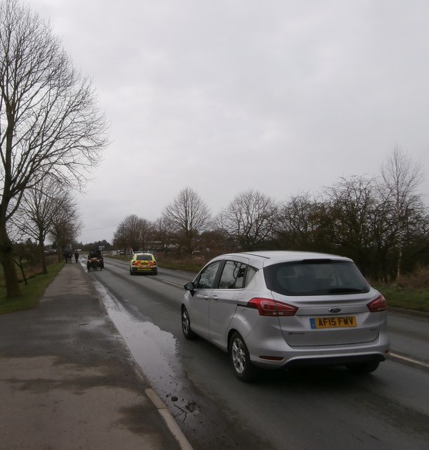
Image: © HelenK Taken: 17 Mar 2018
A couple of houses south of Hook Drove mark the very southern fringes of March. A horse and cart is passing along the B1101, with the following traffic overtaking it carefully.
Images are licensed for reuse under creativecommons.org/licenses/by-sa/2.0
Image Location
Latitude
52.525582
Longitude
0.085042