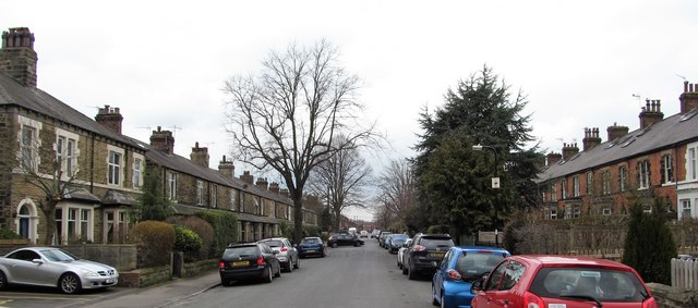
The Avenue, Starbeck
Introduction
The photograph on this page of The Avenue, Starbeck by Gordon Hatton as part of the Geograph project.
The Geograph project started in 2005 with the aim of publishing, organising and preserving representative images for every square kilometre of Great Britain, Ireland and the Isle of Man.
There are currently over 7.5m images from over 14,400 individuals and you can help contribute to the project by visiting https://www.geograph.org.uk

Image: © Gordon Hatton Taken: 29 Mar 2018
At the time of its development, which was around 1890/1900, this was one of the more desirable streets in the growing suburb of Starbeck, with stone built terraced villas to the left and brick built to the right. Starbeck grew initially as a separate community to Harrogate, being halfway between that developing spa town and Knaresborough. The railway reached here before a line was built into Harrogate and workers houses spread around a railway workshop area. Attempts to compete with Harrogate for spa facilities never came to fruition despite there being spa baths here offering sulphur treatment.

