Site of Newtonhill Station
Introduction
The photograph on this page of Site of Newtonhill Station by Bill Harrison as part of the Geograph project.
The Geograph project started in 2005 with the aim of publishing, organising and preserving representative images for every square kilometre of Great Britain, Ireland and the Isle of Man.

There are currently over 7.5m images from over 14,400 individuals and you can help contribute to the project by visiting https://www.geograph.org.uk
Site of Newtonhill Station
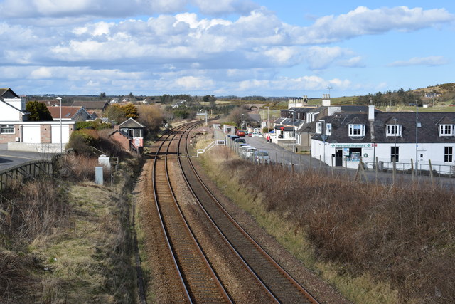
Image: © Bill Harrison Taken: 24 Mar 2018
The station closed in 1956 although there is some talk of reopening it as Newtonhill has transformed from a fishing village to a commuter settlement. Compare the photo from 2009 http://www.geograph.org.uk/photo/1454732 for changes to track layout and signals.
Images are licensed for reuse under creativecommons.org/licenses/by-sa/2.0
Image Location
Latitude
57.032424
Longitude
-2.149413