Northern end of Eglwysilan Common
Introduction
The photograph on this page of Northern end of Eglwysilan Common by M J Roscoe as part of the Geograph project.
The Geograph project started in 2005 with the aim of publishing, organising and preserving representative images for every square kilometre of Great Britain, Ireland and the Isle of Man.

There are currently over 7.5m images from over 14,400 individuals and you can help contribute to the project by visiting https://www.geograph.org.uk
Northern end of Eglwysilan Common
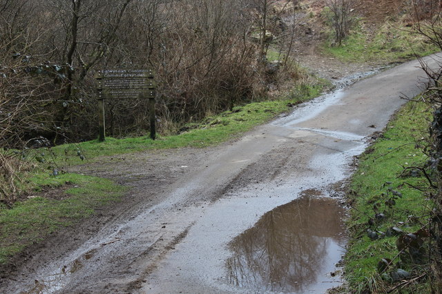
Image: © M J Roscoe Taken: 24 Mar 2018
The wooden sign marks the edge of open access land. The Rhymney Valley ridgeway Walk runs up the road before turning off left on to a track.
Images are licensed for reuse under creativecommons.org/licenses/by-sa/2.0
Image Location
Latitude
51.631517
Longitude
-3.289007