Milton Brae
Introduction
The photograph on this page of Milton Brae by Lairich Rig as part of the Geograph project.
The Geograph project started in 2005 with the aim of publishing, organising and preserving representative images for every square kilometre of Great Britain, Ireland and the Isle of Man.

There are currently over 7.5m images from over 14,400 individuals and you can help contribute to the project by visiting https://www.geograph.org.uk
Milton Brae
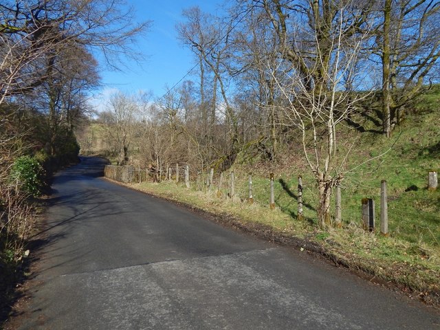
Image: © Lairich Rig Taken: 23 Mar 2018
Milton Brae is the name of the road. Visible not far ahead is a bridge over the Milton Burn. There are some unmarked concrete posts beside the road here (two can be seen in the right foreground); there are others beyond the bridge, on the same side of the road, but they cannot be seen from here.
Images are licensed for reuse under creativecommons.org/licenses/by-sa/2.0
Image Location
Latitude
55.943091
Longitude
-4.52184