Badock's Wood
Introduction
The photograph on this page of Badock's Wood by Eirian Evans as part of the Geograph project.
The Geograph project started in 2005 with the aim of publishing, organising and preserving representative images for every square kilometre of Great Britain, Ireland and the Isle of Man.

There are currently over 7.5m images from over 14,400 individuals and you can help contribute to the project by visiting https://www.geograph.org.uk
Badock's Wood
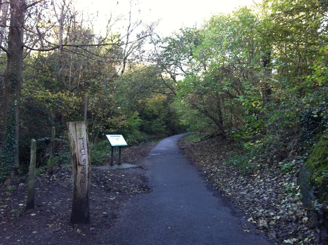
Image: © Eirian Evans Taken: 14 Nov 2014
Footpath through Badock's Wood. Badock's Wood covers an area of approximately 10 hectares. It is a small, semi-natural, broad-leaved woodland situated in a limestone valley (with adjacent areas of grassland) in the north-west of Bristol, between Henleaze and Southmead. It therefore provides a wildlife haven in an urban setting.
Images are licensed for reuse under creativecommons.org/licenses/by-sa/2.0
Image Location
Latitude
51.497219
Longitude
-2.604688