Jubilee Park, Wadebridge
Introduction
The photograph on this page of Jubilee Park, Wadebridge by Derek Harper as part of the Geograph project.
The Geograph project started in 2005 with the aim of publishing, organising and preserving representative images for every square kilometre of Great Britain, Ireland and the Isle of Man.

There are currently over 7.5m images from over 14,400 individuals and you can help contribute to the project by visiting https://www.geograph.org.uk
Jubilee Park, Wadebridge
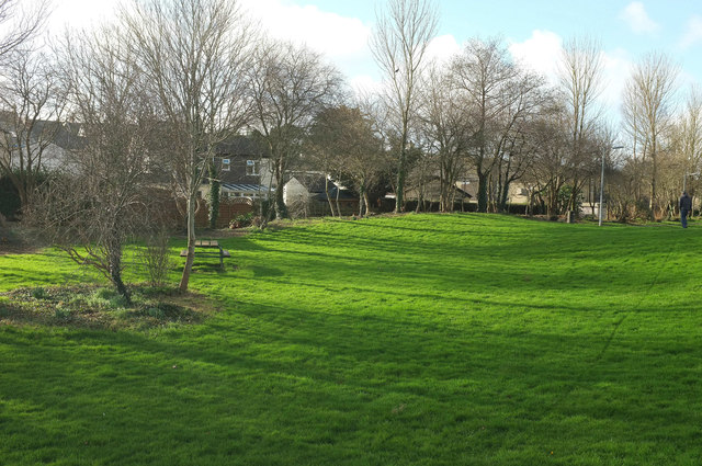
Image: © Derek Harper Taken: 31 Jan 2018
Grassy areas flank the River Camel as it passes through the town. Behind are houses on Guineaport Parc.
Images are licensed for reuse under creativecommons.org/licenses/by-sa/2.0
Image Location
Latitude
50.514555
Longitude
-4.832413