Control Tower Haverfordwest (Withybush) Airport
Introduction
The photograph on this page of Control Tower Haverfordwest (Withybush) Airport by Pauline E as part of the Geograph project.
The Geograph project started in 2005 with the aim of publishing, organising and preserving representative images for every square kilometre of Great Britain, Ireland and the Isle of Man.

There are currently over 7.5m images from over 14,400 individuals and you can help contribute to the project by visiting https://www.geograph.org.uk
Control Tower Haverfordwest (Withybush) Airport
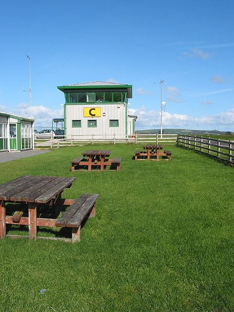
Image: © Pauline E Taken: 27 Sep 2007
Airfield first established in 1941 by the Ministry of Defence for use by the RAF.
Images are licensed for reuse under creativecommons.org/licenses/by-sa/2.0
Image Location


Leaflet Map data © OpenStreetMap
Latitude
51.831834
Longitude
-4.968361