Cycle route next to Penallta Country Park
Introduction
The photograph on this page of Cycle route next to Penallta Country Park by M J Roscoe as part of the Geograph project.
The Geograph project started in 2005 with the aim of publishing, organising and preserving representative images for every square kilometre of Great Britain, Ireland and the Isle of Man.

There are currently over 7.5m images from over 14,400 individuals and you can help contribute to the project by visiting https://www.geograph.org.uk
Cycle route next to Penallta Country Park
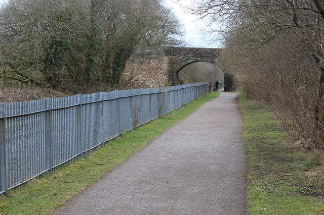
Image: © M J Roscoe Taken: 24 Mar 2018
National cycle route 47 and Rhymney Valley Ridgeway Walk run between a mineral line left of the fence and the park, (right, out of shot). The bridge carries the Ridgeway Walk, which leaves Image the cycle track at the base of the bridge.
Images are licensed for reuse under creativecommons.org/licenses/by-sa/2.0
Image Location
Latitude
51.650715
Longitude
-3.268304