Brooke House Farmhouse, Beeby
Introduction
The photograph on this page of Brooke House Farmhouse, Beeby by Alan Murray-Rust as part of the Geograph project.
The Geograph project started in 2005 with the aim of publishing, organising and preserving representative images for every square kilometre of Great Britain, Ireland and the Isle of Man.

There are currently over 7.5m images from over 14,400 individuals and you can help contribute to the project by visiting https://www.geograph.org.uk
Brooke House Farmhouse, Beeby
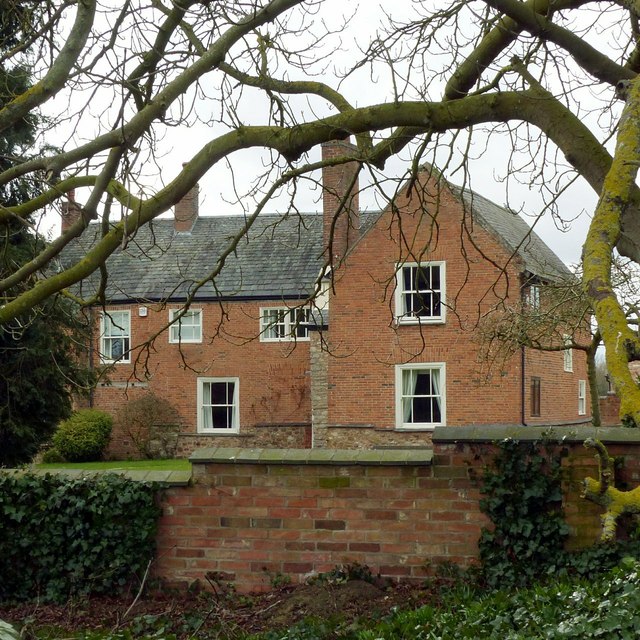
Image: © Alan Murray-Rust Taken: 23 Mar 2018
A composite of various periods, the windows in particular appearing to be 19th century re-fittings. The south wing (not visible in this picture) is dated 1722, but parts of the house are older. Listed Grade II.
Images are licensed for reuse under creativecommons.org/licenses/by-sa/2.0
Image Location
Latitude
52.669088
Longitude
-1.021303