Jamestown Primary School
Introduction
The photograph on this page of Jamestown Primary School by Lairich Rig as part of the Geograph project.
The Geograph project started in 2005 with the aim of publishing, organising and preserving representative images for every square kilometre of Great Britain, Ireland and the Isle of Man.

There are currently over 7.5m images from over 14,400 individuals and you can help contribute to the project by visiting https://www.geograph.org.uk
Jamestown Primary School
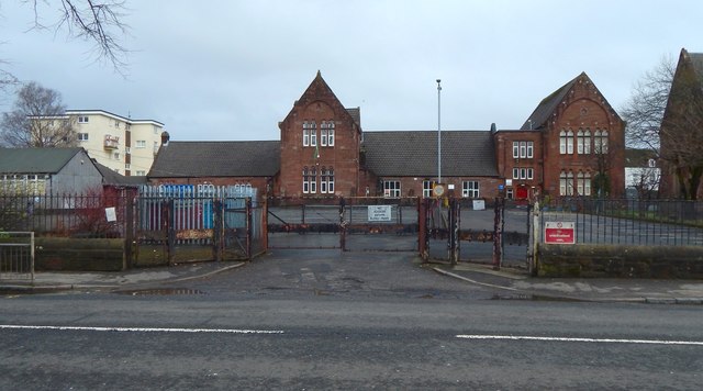
Image: © Lairich Rig Taken: 11 Mar 2018
The school is shown about a decade earlier in Image The present picture was taken not long after it had closed (not for the day, but for good), to be replaced by Image
Images are licensed for reuse under creativecommons.org/licenses/by-sa/2.0
Image Location
Latitude
55.99844
Longitude
-4.570515