House site west of the Bog Road junction
Introduction
The photograph on this page of House site west of the Bog Road junction by Eric Jones as part of the Geograph project.
The Geograph project started in 2005 with the aim of publishing, organising and preserving representative images for every square kilometre of Great Britain, Ireland and the Isle of Man.

There are currently over 7.5m images from over 14,400 individuals and you can help contribute to the project by visiting https://www.geograph.org.uk
House site west of the Bog Road junction
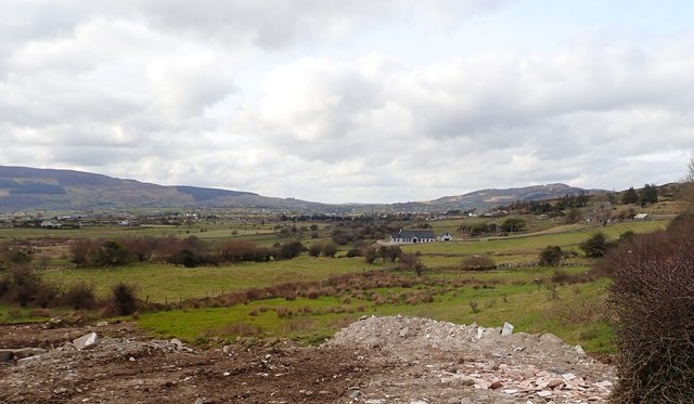
Image: © Eric Jones Taken: 13 Mar 2018
An increasing number of new houses and bungalows are being built in this area of dispersed settlement. Most are built on the sites of derelict properties.
Images are licensed for reuse under creativecommons.org/licenses/by-sa/2.0
Image Location
Latitude
54.127337
Longitude
-6.325177