Old Fallings Lane east of Low Hill, Wolverhampton
Introduction
The photograph on this page of Old Fallings Lane east of Low Hill, Wolverhampton by Roger D Kidd as part of the Geograph project.
The Geograph project started in 2005 with the aim of publishing, organising and preserving representative images for every square kilometre of Great Britain, Ireland and the Isle of Man.

There are currently over 7.5m images from over 14,400 individuals and you can help contribute to the project by visiting https://www.geograph.org.uk
Old Fallings Lane east of Low Hill, Wolverhampton
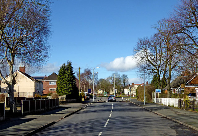
Image: © Roger D Kidd Taken: 8 Mar 2018
This is Old Fallings Lane (in Old Fallings!) looking north towards the junction with St Chad's Road.
Images are licensed for reuse under creativecommons.org/licenses/by-sa/2.0
Image Location
Latitude
52.612847
Longitude
-2.106734