Attenuation pond, Mon Bank, Newport
Introduction
The photograph on this page of Attenuation pond, Mon Bank, Newport by Robin Drayton as part of the Geograph project.
The Geograph project started in 2005 with the aim of publishing, organising and preserving representative images for every square kilometre of Great Britain, Ireland and the Isle of Man.

There are currently over 7.5m images from over 14,400 individuals and you can help contribute to the project by visiting https://www.geograph.org.uk
Attenuation pond, Mon Bank, Newport
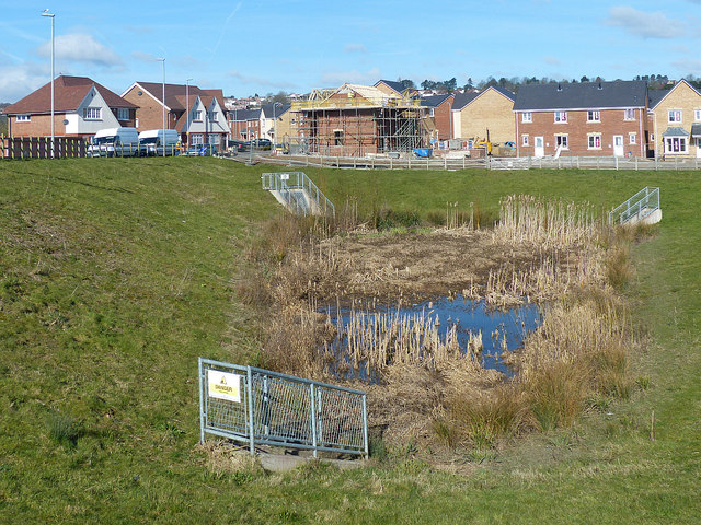
Image: © Robin Drayton Taken: 20 Mar 2018
The south eastern side of a large housing development on an area of former railway sidings that was previously known as Monmouthshire Bank. Two culverts are inlets to the pond with one culvert as an outlet.
Images are licensed for reuse under creativecommons.org/licenses/by-sa/2.0
Image Location
Latitude
51.572661
Longitude
-2.998891