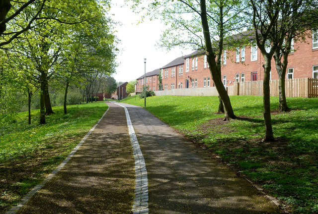
Pedestrian route in north Darlington
Introduction
The photograph on this page of Pedestrian route in north Darlington by Andy Waddington as part of the Geograph project.
The Geograph project started in 2005 with the aim of publishing, organising and preserving representative images for every square kilometre of Great Britain, Ireland and the Isle of Man.
There are currently over 7.5m images from over 14,400 individuals and you can help contribute to the project by visiting https://www.geograph.org.uk

Image: © Andy Waddington Taken: 23 Apr 2014
Whilst hardly a walker's paradise, there are a surprising number of places to while away an hour or two in Darlington whilst staying away from the bustle of traffic and industry. This photo was taken from just about the point where a public footpath from Houghton Le Skerne turns into something else - still clearly a public route (with street lighting), but no longer marked in green on the OS map. Down the slope to the left lies the River Skerne across which the residences on the right have a view to the Trading Estate, increasingly being masked as the trees leaf out on a sunny spring morning. The flowers here are mainly weedy dandelion and daisy, replacing the primulas of unmown river banks only a few hundred metres upstream.

