Junction in the forest
Introduction
The photograph on this page of Junction in the forest by Graham Horn as part of the Geograph project.
The Geograph project started in 2005 with the aim of publishing, organising and preserving representative images for every square kilometre of Great Britain, Ireland and the Isle of Man.

There are currently over 7.5m images from over 14,400 individuals and you can help contribute to the project by visiting https://www.geograph.org.uk
Junction in the forest
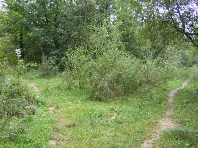
Image: © Graham Horn Taken: 29 Sep 2007
There is a maze of paths in Parkhurst Forest, but they seem to be clearly and accurately marked on the 1:25K map. This is the first one from the Pallancegate entrance, heading south, just at the northern edge of this grid square.
Images are licensed for reuse under creativecommons.org/licenses/by-sa/2.0
Image Location
Latitude
50.72449
Longitude
-1.323611