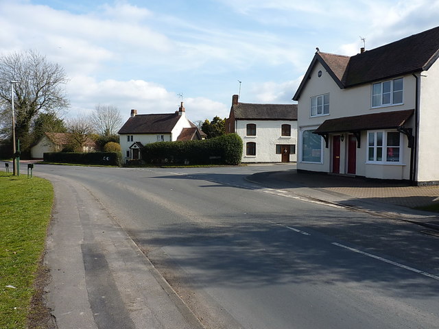
Windmill Lane joins Waste Lane at Catchems Corner
Introduction
The photograph on this page of Windmill Lane joins Waste Lane at Catchems Corner by Richard Law as part of the Geograph project.
The Geograph project started in 2005 with the aim of publishing, organising and preserving representative images for every square kilometre of Great Britain, Ireland and the Isle of Man.
There are currently over 7.5m images from over 14,400 individuals and you can help contribute to the project by visiting https://www.geograph.org.uk

Image: © Richard Law Taken: 21 Mar 2018
A collection of houses at Catchems Corner, the one on the right of the junction (at the far end of the extended roof over the pair of doors) has two large windows, and very probably was the local shop at one time. This is confirmed by an email that I received in late 2022 from a lady who lived across the road in the late 1940s, and who informs me that she would buy sweets here with her post-wartime coupons.

