Site of former freight avoiding lines - March 2018
Introduction
The photograph on this page of Site of former freight avoiding lines - March 2018 by The Carlisle Kid as part of the Geograph project.
The Geograph project started in 2005 with the aim of publishing, organising and preserving representative images for every square kilometre of Great Britain, Ireland and the Isle of Man.

There are currently over 7.5m images from over 14,400 individuals and you can help contribute to the project by visiting https://www.geograph.org.uk
Site of former freight avoiding lines - March 2018
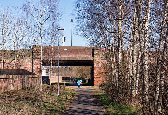
Image: © The Carlisle Kid Taken: 26 Mar 2018
In the days when seven railway companies used Carlisle Citadel station, congestion was a major problem. However, the situation was eased circa 1876 by construction of a junction at Rome Street which created an avoiding line to the west of Carlisle station. Following an accident, this line closed in 1984 and is now a riverside walkway and jogging track.
Images are licensed for reuse under creativecommons.org/licenses/by-sa/2.0
Image Location
Latitude
54.889809
Longitude
-2.937382