Across valley of Black Burn
Introduction
The photograph on this page of Across valley of Black Burn by Trevor Littlewood as part of the Geograph project.
The Geograph project started in 2005 with the aim of publishing, organising and preserving representative images for every square kilometre of Great Britain, Ireland and the Isle of Man.

There are currently over 7.5m images from over 14,400 individuals and you can help contribute to the project by visiting https://www.geograph.org.uk
Across valley of Black Burn
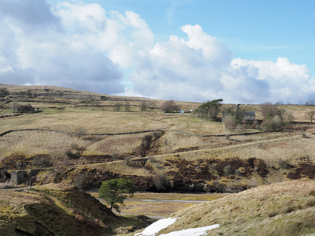
Image: © Trevor Littlewood Taken: 25 Mar 2018
The far slope is on the north side of the Black Burn; there a road leads down to a tall buttress from which presumably a bridge crossed the stream, probably to reach the mine workings there. The lone tree on the near side of the burn is at the foot of Inner Gill.
Images are licensed for reuse under creativecommons.org/licenses/by-sa/2.0
Image Location
Latitude
54.779745
Longitude
-2.467785