Houses on new St Luke's Park development
Introduction
The photograph on this page of Houses on new St Luke's Park development by Robin Webster as part of the Geograph project.
The Geograph project started in 2005 with the aim of publishing, organising and preserving representative images for every square kilometre of Great Britain, Ireland and the Isle of Man.

There are currently over 7.5m images from over 14,400 individuals and you can help contribute to the project by visiting https://www.geograph.org.uk
Houses on new St Luke's Park development
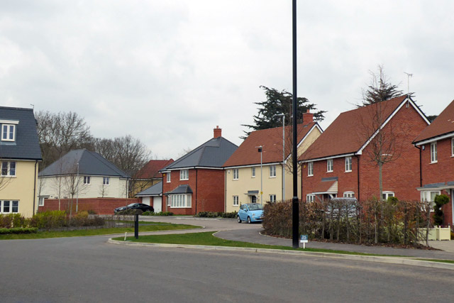
Image: © Robin Webster Taken: 25 Mar 2018
Still in progress, this is a redevelopment of the grounds of the former Runwell Hospital, a mental hospital.
Images are licensed for reuse under creativecommons.org/licenses/by-sa/2.0
Image Location
Latitude
51.634835
Longitude
0.545401