Coton Road in Nuneaton, Warwickshire
Introduction
The photograph on this page of Coton Road in Nuneaton, Warwickshire by Roger D Kidd as part of the Geograph project.
The Geograph project started in 2005 with the aim of publishing, organising and preserving representative images for every square kilometre of Great Britain, Ireland and the Isle of Man.

There are currently over 7.5m images from over 14,400 individuals and you can help contribute to the project by visiting https://www.geograph.org.uk
Coton Road in Nuneaton, Warwickshire
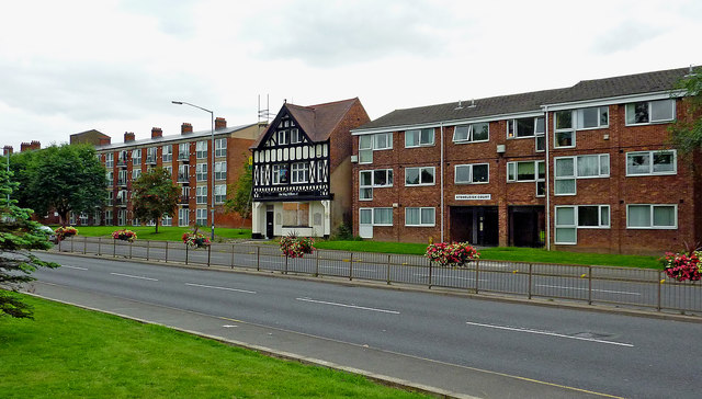
Image: © Roger D Kidd Taken: 19 Aug 2013
This is towards the southern end of the A444 Coton Road, including apartments and the former King William IV public house in 2013. The pub has since been attacked by arsonists, been refused planning permission for conversion into flats, and in 2016 applied for approval for an altered plan.
Images are licensed for reuse under creativecommons.org/licenses/by-sa/2.0
Image Location
Latitude
52.516946
Longitude
-1.467527