Upper Icknield Way near Buckland Wharf
Introduction
The photograph on this page of Upper Icknield Way near Buckland Wharf by David Sands as part of the Geograph project.
The Geograph project started in 2005 with the aim of publishing, organising and preserving representative images for every square kilometre of Great Britain, Ireland and the Isle of Man.

There are currently over 7.5m images from over 14,400 individuals and you can help contribute to the project by visiting https://www.geograph.org.uk
Upper Icknield Way near Buckland Wharf
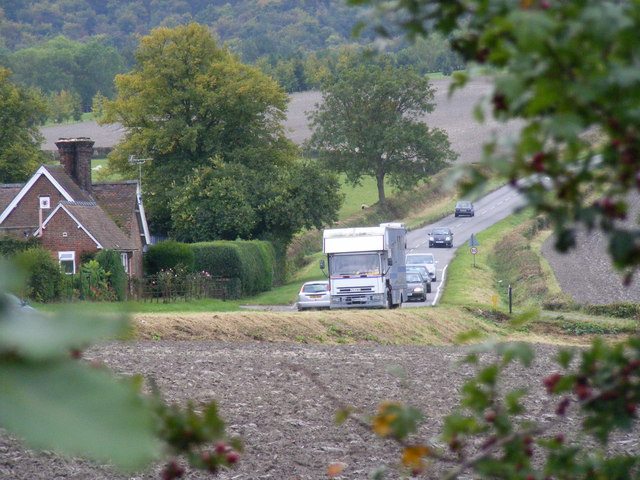
Image: © David Sands Taken: 29 Sep 2007
Traffic on the B4009 Upper Icknield Way as viewed across the field from the old A41 at Buckland Wharf.
Images are licensed for reuse under creativecommons.org/licenses/by-sa/2.0
Image Location
Latitude
51.793549
Longitude
-0.702512