Methodist Chapel, High Street, Barrow-upon-Humber
Introduction
The photograph on this page of Methodist Chapel, High Street, Barrow-upon-Humber by Jo and Steve Turner as part of the Geograph project.
The Geograph project started in 2005 with the aim of publishing, organising and preserving representative images for every square kilometre of Great Britain, Ireland and the Isle of Man.

There are currently over 7.5m images from over 14,400 individuals and you can help contribute to the project by visiting https://www.geograph.org.uk
Methodist Chapel, High Street, Barrow-upon-Humber
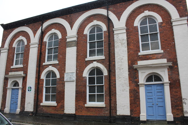
Image: © Jo and Steve Turner Taken: 17 Mar 2018
Rebuilt in 1868, the original chapel was probably more like the adjoining Sunday School building of 1838.
Images are licensed for reuse under creativecommons.org/licenses/by-sa/2.0
Image Location


Leaflet Map data © OpenStreetMap
Latitude
53.676747
Longitude
-0.379813