Crudgington Moor
Introduction
The photograph on this page of Crudgington Moor by Bob Bowyer as part of the Geograph project.
The Geograph project started in 2005 with the aim of publishing, organising and preserving representative images for every square kilometre of Great Britain, Ireland and the Isle of Man.

There are currently over 7.5m images from over 14,400 individuals and you can help contribute to the project by visiting https://www.geograph.org.uk
Crudgington Moor
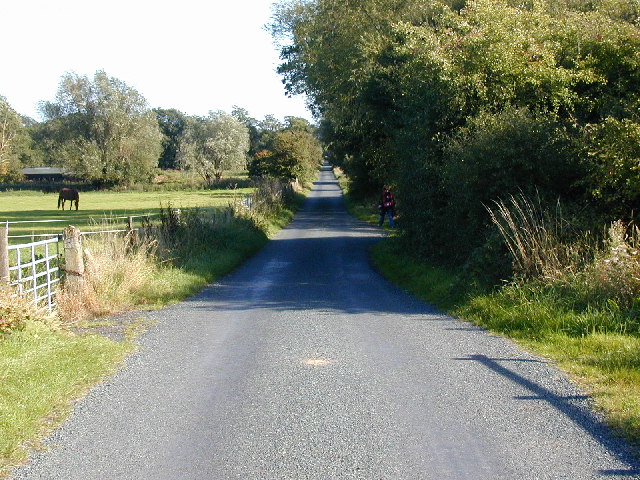
Image: © Bob Bowyer Taken: 23 Sep 2005
These moors are a previously poorly-drained area to the north of Telford - they may well represent the last stages of Lake Lapworth, the lake formed in Shropshire when the northern outlet of the Severn to the Dee estuary was blocked by ice - the lake thus formed eventually overflowed southwards cutting Ironbridge Gorge. The straight road is part of the drainage programme, and hence its plan.
Images are licensed for reuse under creativecommons.org/licenses/by-sa/2.0
Image Location


Leaflet Map data © OpenStreetMap
Latitude
52.755133
Longitude
-2.521359