Grassed area at Fencehouses
Introduction
The photograph on this page of Grassed area at Fencehouses by Trevor Littlewood as part of the Geograph project.
The Geograph project started in 2005 with the aim of publishing, organising and preserving representative images for every square kilometre of Great Britain, Ireland and the Isle of Man.

There are currently over 7.5m images from over 14,400 individuals and you can help contribute to the project by visiting https://www.geograph.org.uk
Grassed area at Fencehouses
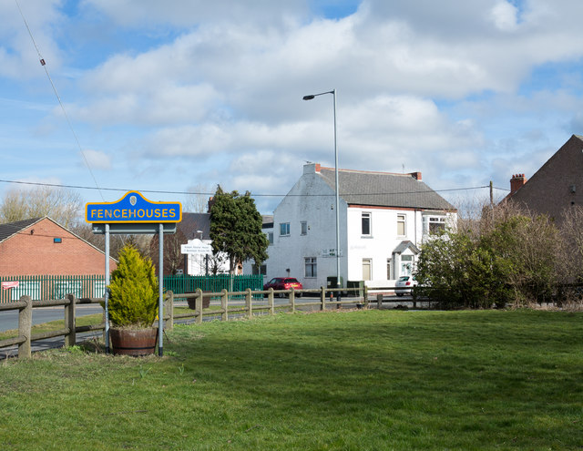
Image: © Trevor Littlewood Taken: 23 Mar 2018
Fencehouses is a small village close to the County Durham and Sunderland boundary, the majority of it lying within the Sunderland unitary authority. It's odd then, perhaps, that the blue and yellow road sign is in the County Durham style, though of course, the sign does stand within the county.
Images are licensed for reuse under creativecommons.org/licenses/by-sa/2.0
Image Location
Latitude
54.848605
Longitude
-1.514537