Downland Road (Blocked)
Introduction
The photograph on this page of Downland Road (Blocked) by Geographer as part of the Geograph project.
The Geograph project started in 2005 with the aim of publishing, organising and preserving representative images for every square kilometre of Great Britain, Ireland and the Isle of Man.

There are currently over 7.5m images from over 14,400 individuals and you can help contribute to the project by visiting https://www.geograph.org.uk
Downland Road (Blocked)
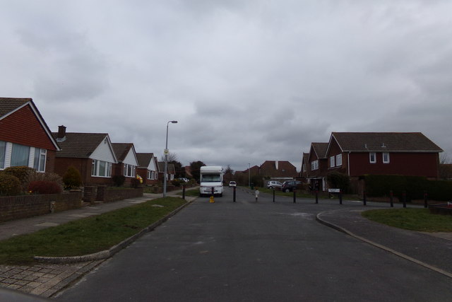
Image: © Geographer Taken: 22 Mar 2018
This has been introduced to stop Downland Road being a rat run avoiding Warren Road, properties at the other end are accessed by Seaview Road At the junction with Seaview Road
Images are licensed for reuse under creativecommons.org/licenses/by-sa/2.0
Image Location
Latitude
50.836941
Longitude
-0.084922