The road to Weardale
Introduction
The photograph on this page of The road to Weardale by Gordon Hatton as part of the Geograph project.
The Geograph project started in 2005 with the aim of publishing, organising and preserving representative images for every square kilometre of Great Britain, Ireland and the Isle of Man.

There are currently over 7.5m images from over 14,400 individuals and you can help contribute to the project by visiting https://www.geograph.org.uk
The road to Weardale
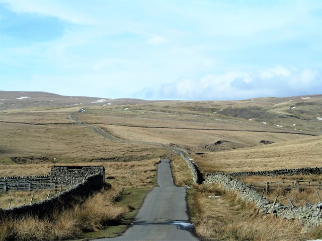
Image: © Gordon Hatton Taken: 22 Mar 2018
This minor road climbs out of Newbiggin and over the moor top at Swinhope Head before descending into Weardale. Here it is just leaving the cultivated land at around the 400m contour before crossing miles of open moor.
Images are licensed for reuse under creativecommons.org/licenses/by-sa/2.0
Image Location
Latitude
54.664551
Longitude
-2.139341