Footpath descending off Mellor Moor
Introduction
The photograph on this page of Footpath descending off Mellor Moor by Chris Heaton as part of the Geograph project.
The Geograph project started in 2005 with the aim of publishing, organising and preserving representative images for every square kilometre of Great Britain, Ireland and the Isle of Man.

There are currently over 7.5m images from over 14,400 individuals and you can help contribute to the project by visiting https://www.geograph.org.uk
Footpath descending off Mellor Moor
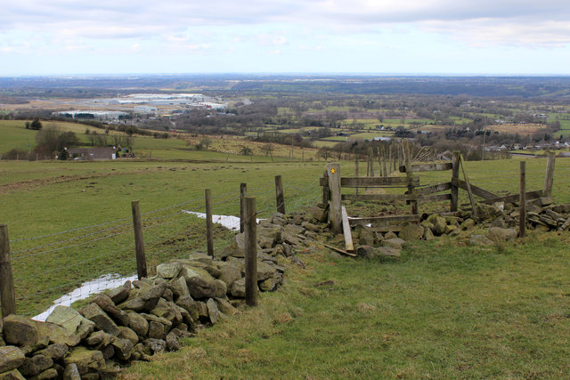
Image: © Chris Heaton Taken: 20 Mar 2018
Descending into the lower reaches of the Ribble Valley. The path affords views towards Preston, and nearer at hand the disused Samlesbury Airfield and industrial complexes belonging to BAE Systems.
Images are licensed for reuse under creativecommons.org/licenses/by-sa/2.0
Image Location
Latitude
53.777159
Longitude
-2.523325