Linfurlong
Introduction
The photograph on this page of Linfurlong by Michael Dibb as part of the Geograph project.
The Geograph project started in 2005 with the aim of publishing, organising and preserving representative images for every square kilometre of Great Britain, Ireland and the Isle of Man.

There are currently over 7.5m images from over 14,400 individuals and you can help contribute to the project by visiting https://www.geograph.org.uk
Linfurlong
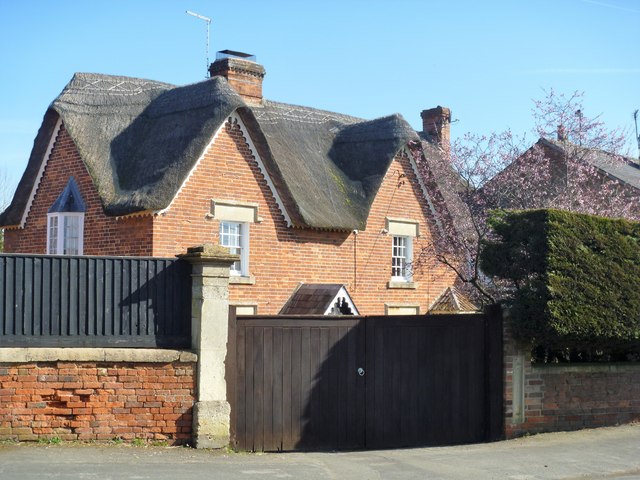
Image: © Michael Dibb Taken: 21 Mar 2018
This late 17th century timber framed house has been recased in brick in the early 19th century. Listed, grade II, with details at: https://www.historicengland.org.uk/listing/the-list/list-entry/1243407
Images are licensed for reuse under creativecommons.org/licenses/by-sa/2.0
Image Location
Latitude
51.363272
Longitude
-2.02997