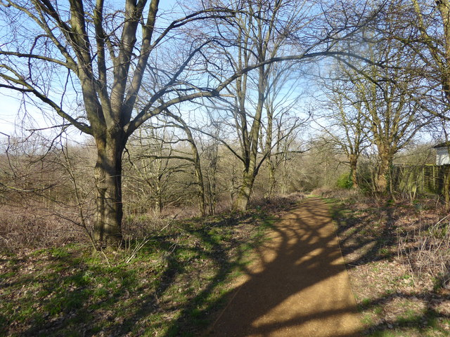
Path on Haste Hill
Introduction
The photograph on this page of Path on Haste Hill by Marathon as part of the Geograph project.
The Geograph project started in 2005 with the aim of publishing, organising and preserving representative images for every square kilometre of Great Britain, Ireland and the Isle of Man.
There are currently over 7.5m images from over 14,400 individuals and you can help contribute to the project by visiting https://www.geograph.org.uk

Image: © Marathon Taken: 21 Mar 2018
Haste Hill is part of an open space to the west of Northwood Hills and would be one of the hills after which Northwood Hills is named - see also https://www.geograph.org.uk/photo/5667907 It slopes down to the west to Haste Hill Golf Course and to the south-west to Ruislip Woods National Nature Reserve. Most of the paths are fairly informal although there is one good path which crosses the top of the hill and this can be seen here.

