Path on Northwood Golf Course
Introduction
The photograph on this page of Path on Northwood Golf Course by Marathon as part of the Geograph project.
The Geograph project started in 2005 with the aim of publishing, organising and preserving representative images for every square kilometre of Great Britain, Ireland and the Isle of Man.

There are currently over 7.5m images from over 14,400 individuals and you can help contribute to the project by visiting https://www.geograph.org.uk
Path on Northwood Golf Course
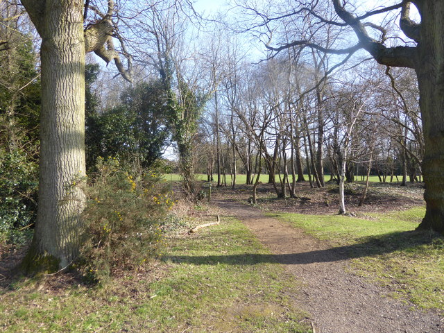
Image: © Marathon Taken: 21 Mar 2018
Northwood Golf Club was founded in 1891 and, like Haste Hill Golf Course with which it has a common boundary to the east, it has a rolling profile. The two golf courses occupy a substantial area between Haste Hill and Northwood and are crossed by a number of footpaths. This footpath leads through a narrow strip of woodland to reach Haste Hill Golf Course a short way ahead and then passes the Haste Hill Clubhouse.
Images are licensed for reuse under creativecommons.org/licenses/by-sa/2.0
Image Location
Latitude
51.603393
Longitude
-0.424773