Junction of Westra and St Andrew's Road, Dinas Powys
Introduction
The photograph on this page of Junction of Westra and St Andrew's Road, Dinas Powys by Jaggery as part of the Geograph project.
The Geograph project started in 2005 with the aim of publishing, organising and preserving representative images for every square kilometre of Great Britain, Ireland and the Isle of Man.

There are currently over 7.5m images from over 14,400 individuals and you can help contribute to the project by visiting https://www.geograph.org.uk
Junction of Westra and St Andrew's Road, Dinas Powys
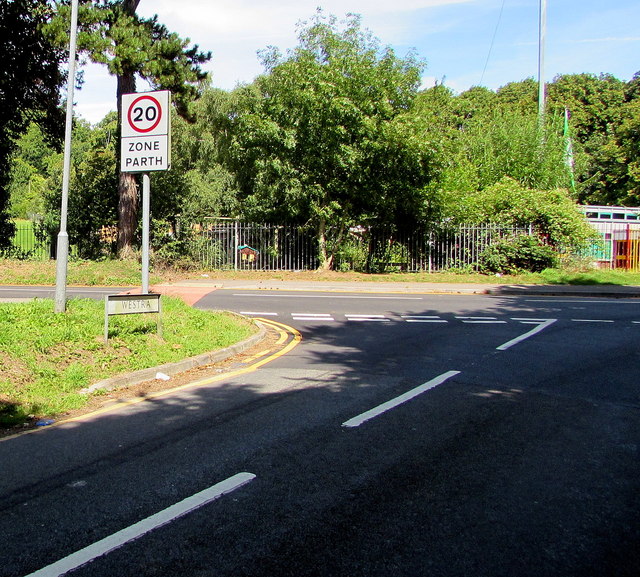
Image: © Jaggery Taken: 13 Aug 2016
The road named Westra ends at the St Andrew's Road junction. The 30mph speed limit drops to 20mph on the approach to St Andrew's Major Church in Wales Primary School.
Images are licensed for reuse under creativecommons.org/licenses/by-sa/2.0
Image Location
Latitude
51.432089
Longitude
-3.229152