The Crags Circular Path at Milton
Introduction
The photograph on this page of The Crags Circular Path at Milton by Lairich Rig as part of the Geograph project.
The Geograph project started in 2005 with the aim of publishing, organising and preserving representative images for every square kilometre of Great Britain, Ireland and the Isle of Man.

There are currently over 7.5m images from over 14,400 individuals and you can help contribute to the project by visiting https://www.geograph.org.uk
The Crags Circular Path at Milton
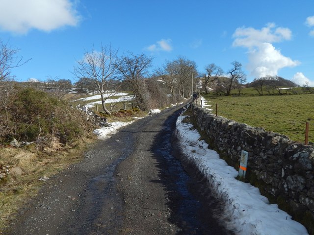
Image: © Lairich Rig Taken: 9 Mar 2018
This part of the road is between Milton Brae (see Image) and the Image There is a gas pipeline marker in the right foreground. Image is in the background.
Images are licensed for reuse under creativecommons.org/licenses/by-sa/2.0
Image Location
Latitude
55.942415
Longitude
-4.519714