Llwybr ar Lonesome Lane / Path on Lonesome Lane
Introduction
The photograph on this page of Llwybr ar Lonesome Lane / Path on Lonesome Lane by Alan Richards as part of the Geograph project.
The Geograph project started in 2005 with the aim of publishing, organising and preserving representative images for every square kilometre of Great Britain, Ireland and the Isle of Man.

There are currently over 7.5m images from over 14,400 individuals and you can help contribute to the project by visiting https://www.geograph.org.uk
Llwybr ar Lonesome Lane / Path on Lonesome Lane
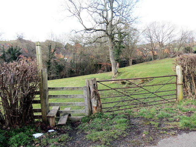
Image: © Alan Richards Taken: 21 Mar 2018
Llwybr cyhoeddus yn gadael Lonesome Lane mewn man a elwir Pyllau Budron. A public footpath leaving Lonesome Lane at a location known as Pyllau Budron (trans. dirty pools).
Images are licensed for reuse under creativecommons.org/licenses/by-sa/2.0
Image Location
Latitude
52.522907
Longitude
-3.304485