Llwybr glanafon y Drenewydd / Newtown riverside path
Introduction
The photograph on this page of Llwybr glanafon y Drenewydd / Newtown riverside path by Alan Richards as part of the Geograph project.
The Geograph project started in 2005 with the aim of publishing, organising and preserving representative images for every square kilometre of Great Britain, Ireland and the Isle of Man.

There are currently over 7.5m images from over 14,400 individuals and you can help contribute to the project by visiting https://www.geograph.org.uk
Llwybr glanafon y Drenewydd / Newtown riverside path
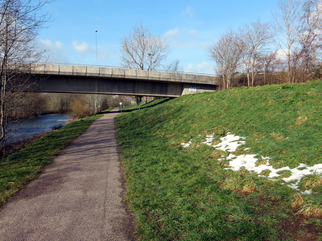
Image: © Alan Richards Taken: 21 Mar 2018
Llwybr ar lan Afon Hafren yn agosau at bont a garia heol dros yr afon. A path on the banks of the Severn River approaching a road bridge.
Images are licensed for reuse under creativecommons.org/licenses/by-sa/2.0
Image Location
Latitude
52.515303
Longitude
-3.30927