The Milton Burn
Introduction
The photograph on this page of The Milton Burn by Lairich Rig as part of the Geograph project.
The Geograph project started in 2005 with the aim of publishing, organising and preserving representative images for every square kilometre of Great Britain, Ireland and the Isle of Man.

There are currently over 7.5m images from over 14,400 individuals and you can help contribute to the project by visiting https://www.geograph.org.uk
The Milton Burn
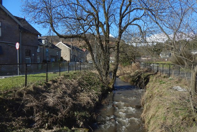
Image: © Lairich Rig Taken: 9 Mar 2018
For an earlier picture, see Image With respect to the present picture, a building called Clyde View is to the photographer's left: Image Whyte's Corner is to the right: Image The picture shows a road on each side of the burn; the one on the left (west) is called Hill View; the one on the right simply leads a small group of buildings; the Milton Printworks were located in that area: see Image
Images are licensed for reuse under creativecommons.org/licenses/by-sa/2.0
Image Location
Latitude
55.936664
Longitude
-4.519661