
Path from the Dumbuck House Hotel
Introduction
The photograph on this page of Path from the Dumbuck House Hotel by Lairich Rig as part of the Geograph project.
The Geograph project started in 2005 with the aim of publishing, organising and preserving representative images for every square kilometre of Great Britain, Ireland and the Isle of Man.

There are currently over 7.5m images from over 14,400 individuals and you can help contribute to the project by visiting https://www.geograph.org.uk
Path from the Dumbuck House Hotel
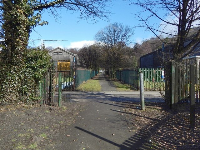
Image: © Lairich Rig Taken: 9 Mar 2018
At this point, roughly halfway along its length, the path is crossed by a road that is associated with the bonded warehouses on either side; as would be expected, the gates on either side of the footpath are closed except on the infrequent occasions when vehicles are using that road; the path itself is not blocked. The road corresponds to the course of a railway line, now long gone. As the 1:25000 map shows, a cycle route (NCN 7) follows the former course of the railway line nearby, but does not do so here, on account of the bonded warehouses; the cycle path goes around them instead.
Images are licensed for reuse under creativecommons.org/licenses/by-sa/2.0
Image Location

Latitude
55.93845
Longitude
-4.537713