Start of a path to the Dumbuck House Hotel
Introduction
The photograph on this page of Start of a path to the Dumbuck House Hotel by Lairich Rig as part of the Geograph project.
The Geograph project started in 2005 with the aim of publishing, organising and preserving representative images for every square kilometre of Great Britain, Ireland and the Isle of Man.

There are currently over 7.5m images from over 14,400 individuals and you can help contribute to the project by visiting https://www.geograph.org.uk
Start of a path to the Dumbuck House Hotel
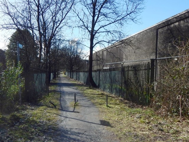
Image: © Lairich Rig Taken: 9 Mar 2018
This is the northeastern end of the path; shown with autumn colours in Image It begins here, branching off at right angles from the cycle route, NCN 7. The path is signposted at this end as: "Path Dumbuck Hotel / A814 300 yds" There are bonded warehouses on both sides of the path. I have used the name "Dumbuck House Hotel", rather than what appears on the sign, since (at the time of writing) that is what appears on the building itself: Image
Images are licensed for reuse under creativecommons.org/licenses/by-sa/2.0
Image Location
Latitude
55.939002
Longitude
-4.537108