St Illtyd's electricity substation, Oakdale Road, Penrhiwfer
Introduction
The photograph on this page of St Illtyd's electricity substation, Oakdale Road, Penrhiwfer by Jaggery as part of the Geograph project.
The Geograph project started in 2005 with the aim of publishing, organising and preserving representative images for every square kilometre of Great Britain, Ireland and the Isle of Man.

There are currently over 7.5m images from over 14,400 individuals and you can help contribute to the project by visiting https://www.geograph.org.uk
St Illtyd's electricity substation, Oakdale Road, Penrhiwfer
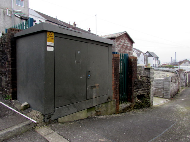
Image: © Jaggery Taken: 3 Nov 2017
The Western Power Distribution electricity substation, identifier ST ILLTYDS PENRHIWFER S/S 542260 is on the corner of Oakdale Road and a back lane. St Illtyd's Church http://www.geograph.org.uk/photo/5589558 is nearby.
Images are licensed for reuse under creativecommons.org/licenses/by-sa/2.0
Image Location
Latitude
51.604296
Longitude
-3.441445