Curtis Fields develolpment
Introduction
The photograph on this page of Curtis Fields develolpment by John Stephen as part of the Geograph project.
The Geograph project started in 2005 with the aim of publishing, organising and preserving representative images for every square kilometre of Great Britain, Ireland and the Isle of Man.

There are currently over 7.5m images from over 14,400 individuals and you can help contribute to the project by visiting https://www.geograph.org.uk
Curtis Fields develolpment
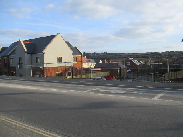
Image: © John Stephen Taken: 20 Mar 2018
Now partially inhabited. See view prior to developmentImage and Image, the latter being from the same spot as witnessed by the road markings and transmitter mast in the distance.
Images are licensed for reuse under creativecommons.org/licenses/by-sa/2.0
Image Location
Latitude
50.60909
Longitude
-2.481014