Portishead, dockside path
Introduction
The photograph on this page of Portishead, dockside path by Mike Faherty as part of the Geograph project.
The Geograph project started in 2005 with the aim of publishing, organising and preserving representative images for every square kilometre of Great Britain, Ireland and the Isle of Man.

There are currently over 7.5m images from over 14,400 individuals and you can help contribute to the project by visiting https://www.geograph.org.uk
Portishead, dockside path
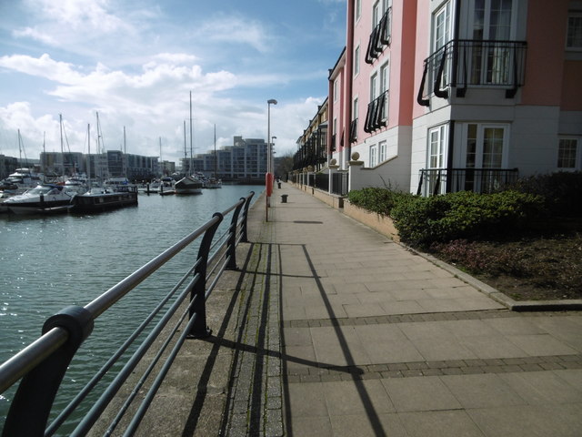
Image: © Mike Faherty Taken: 16 Mar 2018
Along the western side of the former dock; complete with former mooring posts, and now with life-rings. http://ports.org.uk/port.asp?id=941
Images are licensed for reuse under creativecommons.org/licenses/by-sa/2.0
Image Location


Leaflet Map data © OpenStreetMap
Latitude
51.489202
Longitude
-2.761574