Portishead, former dock
Introduction
The photograph on this page of Portishead, former dock by Mike Faherty as part of the Geograph project.
The Geograph project started in 2005 with the aim of publishing, organising and preserving representative images for every square kilometre of Great Britain, Ireland and the Isle of Man.

There are currently over 7.5m images from over 14,400 individuals and you can help contribute to the project by visiting https://www.geograph.org.uk
Portishead, former dock
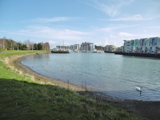
Image: © Mike Faherty Taken: 16 Mar 2018
Once extending further South, and serving cargo boats in the local trade, later packet boats on the Avon; now a marina. http://ports.org.uk/port.asp?id=941
Images are licensed for reuse under creativecommons.org/licenses/by-sa/2.0
Image Location
Latitude
51.486754
Longitude
-2.764558