Thomas Street Methodist Church Manses, Portadown
Introduction
The photograph on this page of Thomas Street Methodist Church Manses, Portadown by P Flannagan as part of the Geograph project.
The Geograph project started in 2005 with the aim of publishing, organising and preserving representative images for every square kilometre of Great Britain, Ireland and the Isle of Man.

There are currently over 7.5m images from over 14,400 individuals and you can help contribute to the project by visiting https://www.geograph.org.uk
Thomas Street Methodist Church Manses, Portadown
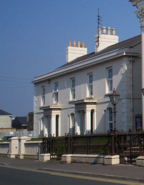
Image: © P Flannagan Taken: 31 Mar 2007
These two houses were known as The Ministers' Residences when they were built in 1862. They were set back in line with the Chapel wall so that the Portico of the church would stand out in relief.
Images are licensed for reuse under creativecommons.org/licenses/by-sa/2.0
Image Location
Latitude
54.421552
Longitude
-6.443234